Virginia Security Corridor Sentinel Landscape
-
Virginia
-
Established 2023
About
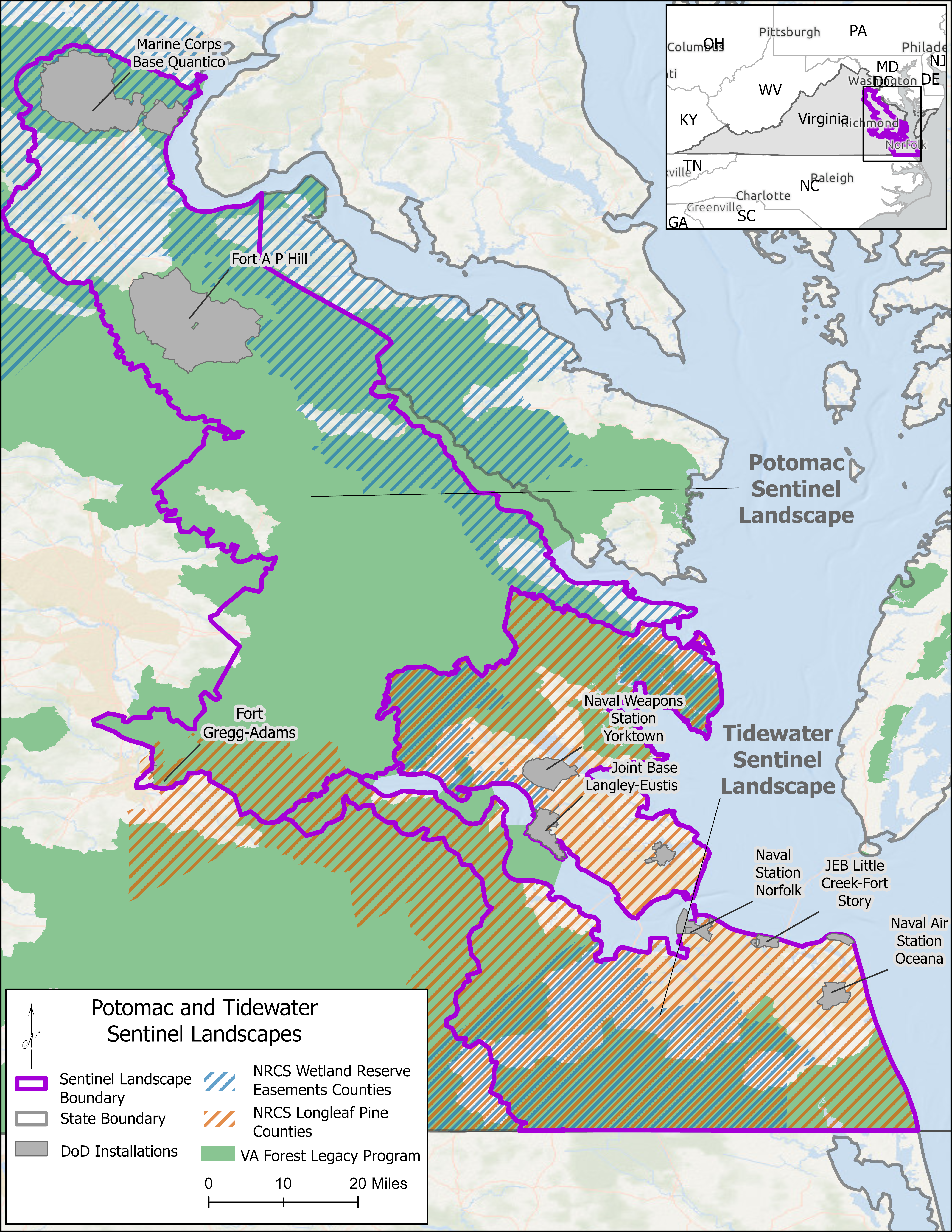
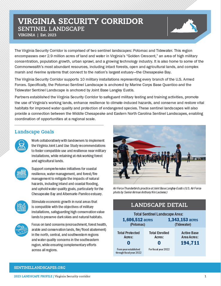
The Virginia Security Corridor is comprised of two sentinel landscapes: Potomac and Tidewater. This region encompasses over 2.9 million acres of land and water in Virginia’s “Golden Crescent,” an area of high military concentration, population growth, urban sprawl, and a growing technology industry. It is also home to some of the Commonwealth’s most abundant resources, including intact forests, open and agricultural lands, and complex marsh and riverine systems that connect to the nation’s largest estuary – the Chesapeake Bay. The Virginia Security Corridor supports 10 military installations representing every branch of the U.S. Armed Forces. Specifically, the Potomac Sentinel Landscape is anchored by Marine Corps Base Quantico and the Tidewater Sentinel Landscape is anchored by Joint Base Langley Eustis. Partners established the Virginia Security Corridor to address three lines of effort: 1) prevent encroachment on military testing and training activities while supporting Virginia’s working lands, 2) build resilience against climate-induced hazards, and 3) conserve and restore key habitats to benefit water quality and protected species. These sentinel landscapes will also provide a connection between the Middle Chesapeake and Eastern North Carolina Sentinel Landscapes, enabling coordination of opportunities at a regional scale.
Map
Partnership Highlights
Conserving Forests
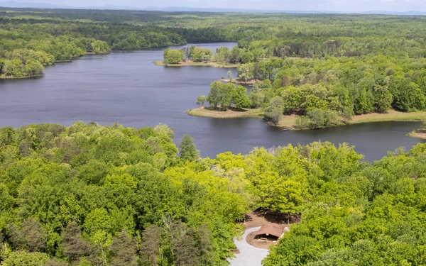
The Forest Legacy Program (FLP) is a conservation program administered by the U.S. Forest Service in partnership with states to encourage the protection of privately owned forest lands through conservation easements or land purchases. The Virginia Department of Forestry (VDOF) is the lead state agency responsible for managing the program and associated federal grant funds for the conservation of important forestlands in the Commonwealth. One of the primary tenets of the FLP in Virginia is to ensure the conservation of well-managed working forests to provide sustainable resources, clean water and air, wildlife habitat, and forested scenic views, as well as to protect sensitive sites and essential habitat for threatened and endangered species. During the program’s first 21 years in Virginia, through December 2020, FLP funding supported the conservation of 25 tracts totaling 21,799 acres. For example, the 2,400-acre Big Woods State Forest located in Sussex County was acquired using FLP funding. This state forest connects to other lands managed by the Virginia Department of Wildlife Resources and Department of Conservation and Recreation as well as The Nature Conservancy. These partners work collectively on each other’s lands to benefit habitat improvement for the northernmost breeding population of endangered red-cockaded woodpeckers.
Safeguarding Working Lands
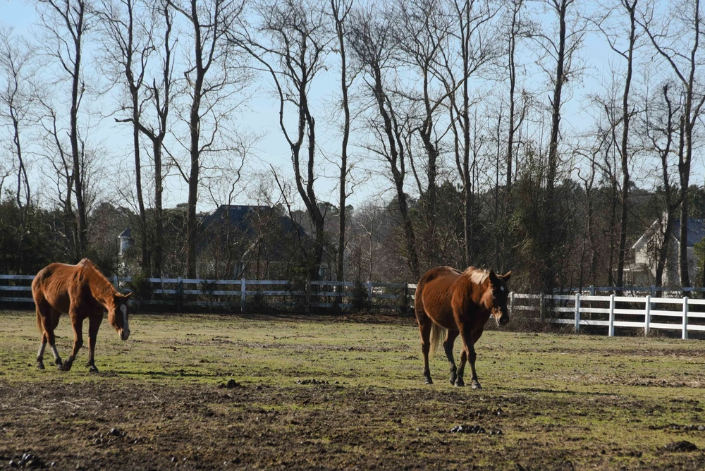
The Virginia Security Corridor is experiencing rapid conversion of working forest and farmlands due to increasing development pressure. However, the relatively small size of parcels in the region combined with limited capacity to engage landowners makes it difficult to conserve lands at the pace and scale needed to achieve significant outcomes. To overcome these challenges, the Virginia Security Corridor partners are exploring a pilot program with the American Forest Foundation (AFF) to expand their Family Forest Carbon Program in the region. Through this program, AFF provides capacity to private landowners to improve the carbon sequestration of their forests. AFF sells the resulting carbon credits on the voluntary carbon market, generating income for participating landowners with the aim of increasing their land retention. The VDOF and Rappahannock Regional Basin Commission also partner on the Healthy Watershed Forests Program, which has piloted the use of forests (and their associated carbon sequestration benefits) as a proxy for water quality benefits. This work could result in the creation of a payments scheme that provides incentives for small and large landowners to conserve their forests or pursue afforestation.
Addressing Climate Impacts
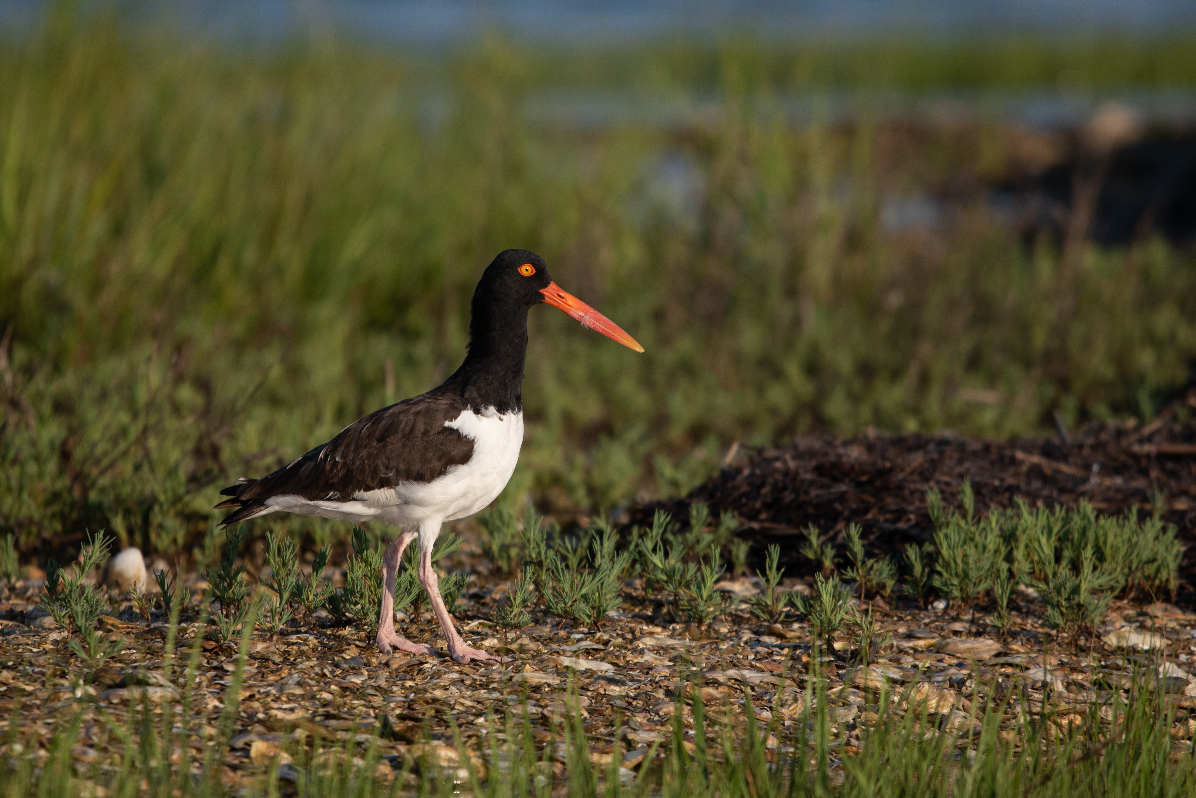
The Virginia Security Corridor is primarily located in the coastal plain, bordered by the Fall Line to the west and the Chesapeake Bay and its tributaries to the east. All along this geography, habitat loss and climate impacts are reducing the resiliency of the area to sustain native bird populations, like the American black duck, black rail, and saltmarsh sparrow, and to retain suitable habitat for federally threatened or listed species of bats, like the northern long-eared bat and the Indiana bat. The designation of the Potomac and Tidewater Sentinel Landscapes is a significant opportunity to protect population strongholds and create corridors for habitat and biological connectivity. Partners are committed to strengthening relationships with the National Wildlife Refuge System, the National Park System, and the National Estuarine Research Reserve System to explore ways to expand species and habitat management outside military installations, as well as protecting cultural and historic resources and promoting access for defense communities. Through research, new project identification, and capacity building efforts, these sentinel landscapes will help to reduce encroachment challenges driven by sea level rise, wetland migration, loss of native flora and fauna, and reduced access to adequate freshwater quantity and quality in some of the most densely populated areas of Virginia.
Our Partners
Local Partners
- Capital Region Land Conservancy
- Caroline County
- City of Bowling Green
- City of Hampton
- Crater PDC
- Essex County
- Fauquier County
- Hampton Roads Military & Federal Facilities Alliance
- Hampton Roads Planning District Commission
- King George County
- Northern Virginia Regional Commission
- Port Royal
- Prince William County
- Rappahannock Regional Commission
- Rappahannock River Basin Commission
- Rappahannock River Roundtable
- Richmond Regional Commission
- Spotsylvania County
- Stafford County
- Virginia Association of Counties
- Virginia Association of Soil and Water Conservation Districts
- Virginia Farm Bureau
- Virginia Municipal League
Private Partners
- Agua Fund
- American Battlefield Trust
- Ducks Unlimited
- Friends of the Lower Appomattox
- Friends of the Rappahannock
- Northern Virginia Conservation Trust
- Piedmont Environmental Council
- Prince William Conservation Alliance
- Southeast Regional Partnership for Planning and Sustainability
- The Black Family Land Trust
- The Chesapeake Bay Foundation
- The Chesapeake Conservancy
- The Conservation Fund
- The Nature Conservancy
- The Pew Charitable Trusts
- The Virginia Agri-Business Council
- The Virginia Environmental Endowment
- The Virginia Forest Products Association
- The Virginia Forestry Association
- The Ward Burton Wildlife Foundation
- Trust for Public Land
- Virginia Forever
- Virginia United Association of Land Trusts
Resources
-
2023 Virginia Security Corridor Sentinel Landscape Profile